
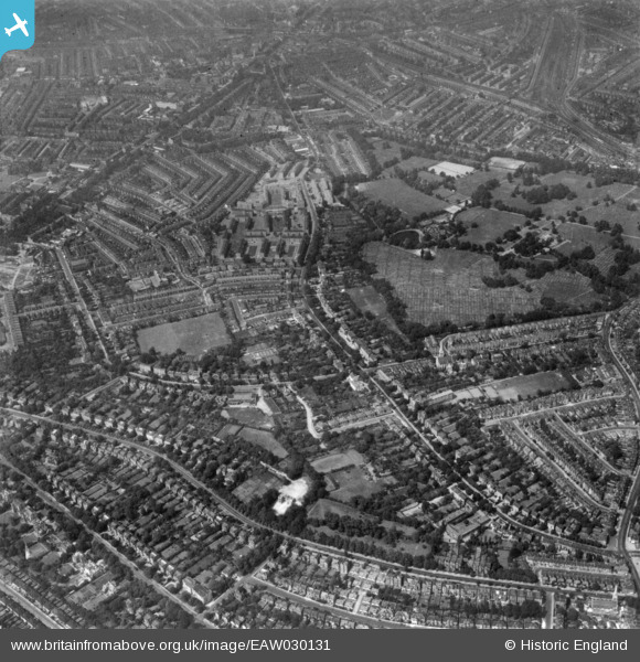
EAW030131 ENGLAND (1950). Tulse Hill, Brockwell Park and environs, Tulse Hill, 1950. This image has been produced from a print.
© Copyright OpenStreetMap contributors and licensed by the OpenStreetMap Foundation. 2025. Cartography is licensed as CC BY-SA.
Details
| Title | [EAW030131] Tulse Hill, Brockwell Park and environs, Tulse Hill, 1950. This image has been produced from a print. |
| Reference | EAW030131 |
| Date | 6-June-1950 |
| Link | |
| Place name | TULSE HILL |
| Parish | |
| District | |
| Country | ENGLAND |
| Easting / Northing | 531257, 173651 |
| Longitude / Latitude | -0.11100450662648, 51.446126876741 |
| National Grid Reference | TQ313737 |
Pins

brianbeckett |
Wednesday 6th of May 2020 09:56:39 PM | |
|
brianbeckett |
Wednesday 6th of May 2020 09:55:47 PM | |
|
brianbeckett |
Wednesday 6th of May 2020 09:45:56 PM | |
|
Wordy |
Thursday 13th of November 2014 10:18:52 AM | |
|
Wordy |
Thursday 13th of November 2014 10:16:50 AM | |
|
Wordy |
Thursday 13th of November 2014 10:14:44 AM | |
|
Wordy |
Thursday 13th of November 2014 10:12:59 AM | |
|
Wordy |
Thursday 13th of November 2014 10:11:34 AM | |
|
brianbeckett |
Thursday 18th of September 2014 08:25:06 PM | |
|
brianbeckett |
Thursday 18th of September 2014 08:23:59 PM | |
|
brianbeckett |
Thursday 18th of September 2014 08:22:36 PM | |
|
brianbeckett |
Thursday 18th of September 2014 08:20:25 PM |