
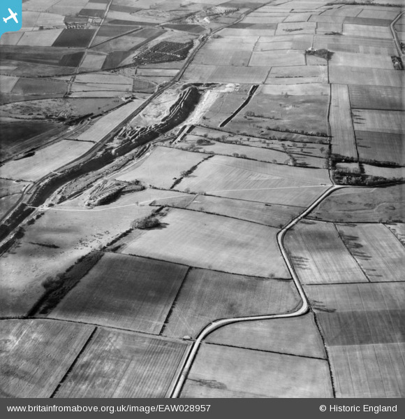
EAW028957 ENGLAND (1950). Ironstone Quarries surrounding Sheffield's Hill, Roxby, 1950
© Copyright OpenStreetMap contributors and licensed by the OpenStreetMap Foundation. 2025. Cartography is licensed as CC BY-SA.
Details
| Title | [EAW028957] Ironstone Quarries surrounding Sheffield's Hill, Roxby, 1950 |
| Reference | EAW028957 |
| Date | 5-May-1950 |
| Link | |
| Place name | ROXBY |
| Parish | ROXBY CUM RISBY |
| District | |
| Country | ENGLAND |
| Easting / Northing | 491170, 416534 |
| Longitude / Latitude | -0.62093478920051, 53.637138881231 |
| National Grid Reference | SE912165 |
