
Scheduled Maintenance
This website will undergo scheduled maintenance on Tuesday, September 10th, between 11:00 and 15:00, as well as on Thursday, September 12th, between 10:00 and 12:00. During this time, services may be temporarily disrupted. We apologise for any inconvenience.
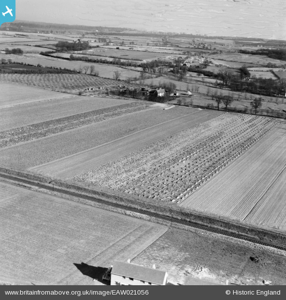
EAW021056 ENGLAND (1949). A cabbage field opposite Benton Hall, Witham, from the west, 1949
© Copyright OpenStreetMap contributors and licensed by the OpenStreetMap Foundation. 2024. Cartography is licensed as CC BY-SA.
Details
| Title | [EAW021056] A cabbage field opposite Benton Hall, Witham, from the west, 1949 |
| Reference | EAW021056 |
| Date | 16-February-1949 |
| Link | |
| Place name | WITHAM |
| Parish | WITHAM |
| District | |
| Country | ENGLAND |
| Easting / Northing | 582454, 213190 |
| Longitude / Latitude | 0.64566638281063, 51.787120470135 |
| National Grid Reference | TL825132 |
Pins
Be the first to add a comment to this image!