
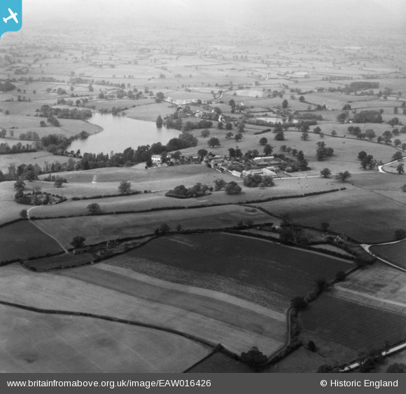
EAW016426 ENGLAND (1948). Marbury Hall and Marbury Hall Farm, Marbury, from the south, 1948. This image has been produced from a print.
© Copyright OpenStreetMap contributors and licensed by the OpenStreetMap Foundation. 2026. Cartography is licensed as CC BY-SA.
Details
| Title | [EAW016426] Marbury Hall and Marbury Hall Farm, Marbury, from the south, 1948. This image has been produced from a print. |
| Reference | EAW016426 |
| Date | 9-June-1948 |
| Link | |
| Place name | MARBURY |
| Parish | MARBURY CUM QUOISLEY |
| District | |
| Country | ENGLAND |
| Easting / Northing | 356238, 344612 |
| Longitude / Latitude | -2.6521074331814, 52.996734529025 |
| National Grid Reference | SJ562446 |
Pins
Be the first to add a comment to this image!