
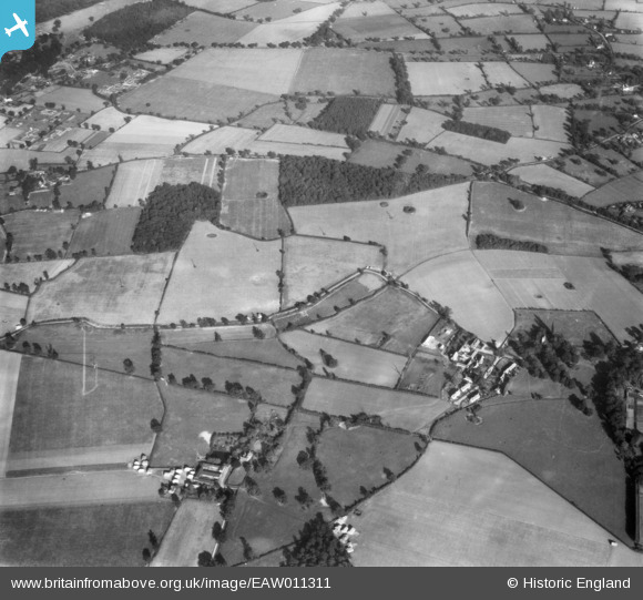
EAW011311 ENGLAND (1947). Hall Farm, Elderstub Wood and Home Farm, Rushbrooke, 1947
© Copyright OpenStreetMap contributors and licensed by the OpenStreetMap Foundation. 2026. Cartography is licensed as CC BY-SA.
Details
| Title | [EAW011311] Hall Farm, Elderstub Wood and Home Farm, Rushbrooke, 1947 |
| Reference | EAW011311 |
| Date | 1-October-1947 |
| Link | |
| Place name | RUSHBROOKE |
| Parish | RUSHBROOKE WITH ROUGHAM |
| District | |
| Country | ENGLAND |
| Easting / Northing | 589362, 262008 |
| Longitude / Latitude | 0.77269541363828, 52.223274179729 |
| National Grid Reference | TL894620 |
Pins
Be the first to add a comment to this image!