
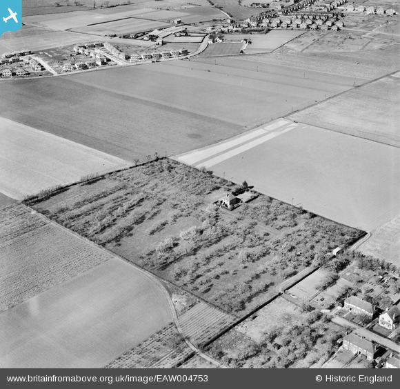
EAW004753 ENGLAND (1947). The Orchards house at John's Green, Sandwich, 1947
© Copyright OpenStreetMap contributors and licensed by the OpenStreetMap Foundation. 2024. Cartography is licensed as CC BY-SA.
Nearby Images (3)
EAW004753

EAW004754

EAW004752

Details
| Title | [EAW004753] The Orchards house at John's Green, Sandwich, 1947 |
| Reference | EAW004753 |
| Date | 26-April-1947 |
| Link | |
| Place name | SANDWICH |
| Parish | SANDWICH |
| District | |
| Country | ENGLAND |
| Easting / Northing | 632301, 157038 |
| Longitude / Latitude | 1.3302611543851, 51.264568303677 |
| National Grid Reference | TR323570 |
Pins
Be the first to add a comment to this image!


