
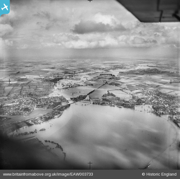
EAW003733 ENGLAND (1947). Extensive flooding between Huntingdon and Godmanchester, Port Holme, from the south-west, 1947
© Copyright OpenStreetMap contributors and licensed by the OpenStreetMap Foundation. 2026. Cartography is licensed as CC BY-SA.
Details
| Title | [EAW003733] Extensive flooding between Huntingdon and Godmanchester, Port Holme, from the south-west, 1947 |
| Reference | EAW003733 |
| Date | 18-March-1947 |
| Link | |
| Place name | PORT HOLME |
| Parish | BRAMPTON |
| District | |
| Country | ENGLAND |
| Easting / Northing | 523870, 270978 |
| Longitude / Latitude | -0.18230284959182, 52.322515106691 |
| National Grid Reference | TL239710 |
Pins

Class31 |
Wednesday 10th of September 2014 09:12:18 AM | |
|
Class31 |
Wednesday 10th of September 2014 09:10:32 AM | |
|
Class31 |
Wednesday 10th of September 2014 09:08:57 AM | |
|
Class31 |
Wednesday 10th of September 2014 09:07:42 AM | |
|
Class31 |
Wednesday 10th of September 2014 09:05:50 AM | |
|
Class31 |
Wednesday 10th of September 2014 09:04:42 AM | |
|
Class31 |
Wednesday 10th of September 2014 09:03:52 AM |


User Comment Contributions
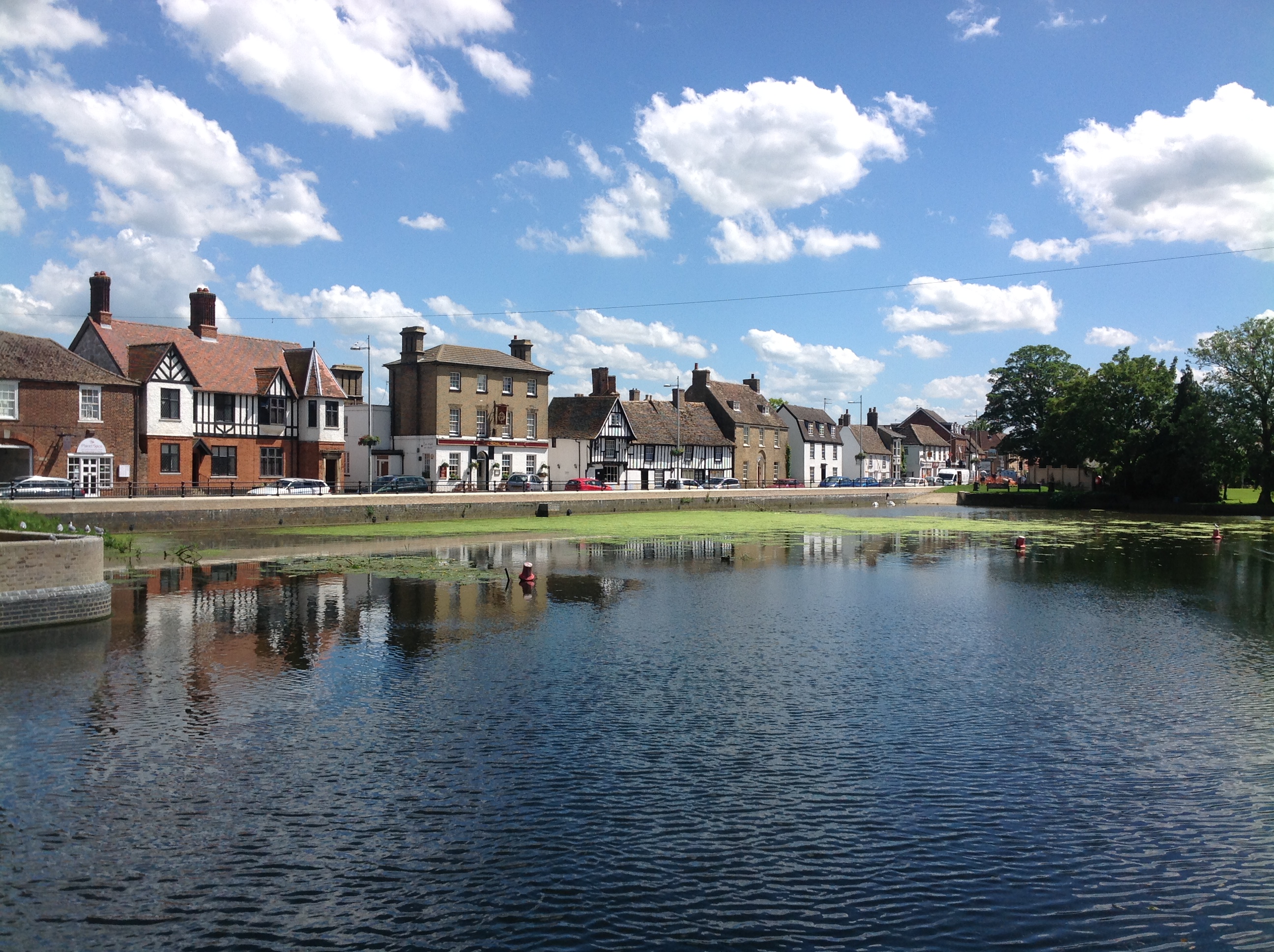
River Great Ouse, Godmanchester , 10/06/2014 |
Class31 |
Wednesday 10th of September 2014 09:06:38 AM |