
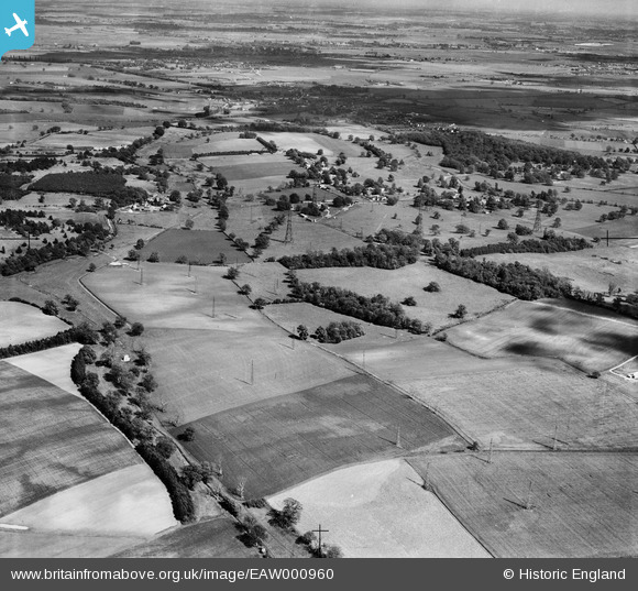
EAW000960 ENGLAND (1946). Radio masts at RAF Chicksands and environs, Chicksands, from the north-west, 1946
© Copyright OpenStreetMap contributors and licensed by the OpenStreetMap Foundation. 2026. Cartography is licensed as CC BY-SA.
Details
| Title | [EAW000960] Radio masts at RAF Chicksands and environs, Chicksands, from the north-west, 1946 |
| Reference | EAW000960 |
| Date | 28-May-1946 |
| Link | |
| Place name | CHICKSANDS |
| Parish | CAMPTON AND CHICKSANDS |
| District | |
| Country | ENGLAND |
| Easting / Northing | 510923, 240069 |
| Longitude / Latitude | -0.38231775603608, 52.04747965703 |
| National Grid Reference | TL109401 |
Pins

melgibbs |
Monday 6th of October 2014 10:39:43 AM |
User Comment Contributions
RAF Chicksands was one of the "Y Stations" during WW2 intercepting enemy radio messages and passing them on to Bletchley Park. |
melgibbs |
Thursday 26th of February 2015 06:29:36 PM |