
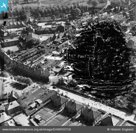
EAW000718 ENGLAND (1946). Old Hawne Lane, Halesowen, 1946. This image has been produced from a damaged negative.
© Copyright OpenStreetMap contributors and licensed by the OpenStreetMap Foundation. 2025. Cartography is licensed as CC BY-SA.
Nearby Images (5)
EAW000718

EAW000716

EAW000715

EAW000717

EAW000714

Details
| Title | [EAW000718] Old Hawne Lane, Halesowen, 1946. This image has been produced from a damaged negative. |
| Reference | EAW000718 |
| Date | 9-May-1946 |
| Link | |
| Place name | HALESOWEN |
| Parish | |
| District | |
| Country | ENGLAND |
| Easting / Northing | 396459, 283790 |
| Longitude / Latitude | -2.0521111382739, 52.451682674557 |
| National Grid Reference | SO965838 |
Pins
Be the first to add a comment to this image!