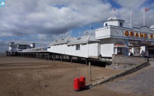
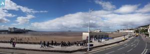
epw048447 ENGLAND (1935). The Grand Pier and Weston Bay, Weston-Super-Mare, from the south, 1935
© Copyright OpenStreetMap contributors and licensed by the OpenStreetMap Foundation. 2024. Cartography is licensed as CC BY-SA.
Details
| Title | [EPW048447] The Grand Pier and Weston Bay, Weston-Super-Mare, from the south, 1935 |
| Reference | EPW048447 |
| Date | July-1935 |
| Link | |
| Place name | WESTON-SUPER-MARE |
| Parish | WESTON-SUPER-MARE |
| District | |
| Country | ENGLAND |
| Easting / Northing | 331416, 159627 |
| Longitude / Latitude | -2.9845311952584, 51.331094885015 |
| National Grid Reference | ST314596 |
Pins
 gBr |
Sunday 4th of October 2015 03:49:32 PM | |
 Alan McFaden |
Saturday 19th of October 2013 03:53:08 PM | |
 Alan McFaden |
Saturday 19th of October 2013 03:52:31 PM |


