
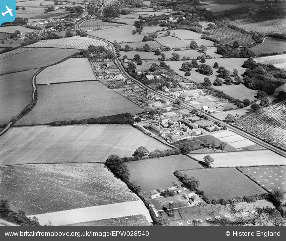
epw028540 ENGLAND (1929). Hartley House, Turnden and surrounding countryside, Cranbrook, 1929
© Copyright OpenStreetMap contributors and licensed by the OpenStreetMap Foundation. 2025. Cartography is licensed as CC BY-SA.
Details
| Title | [EPW028540] Hartley House, Turnden and surrounding countryside, Cranbrook, 1929 |
| Reference | EPW028540 |
| Date | August-1929 |
| Link | |
| Place name | CRANBROOK |
| Parish | CRANBROOK |
| District | |
| Country | ENGLAND |
| Easting / Northing | 576142, 135130 |
| Longitude / Latitude | 0.51539671250391, 51.087868448936 |
| National Grid Reference | TQ761351 |
Pins

Kentishman |
Monday 10th of August 2015 11:34:19 AM | |
|
Kentishman |
Monday 10th of August 2015 11:33:05 AM | |
|
Kentishman |
Monday 10th of August 2015 11:28:59 AM | |
|
Kentishman |
Monday 10th of August 2015 11:20:34 AM |