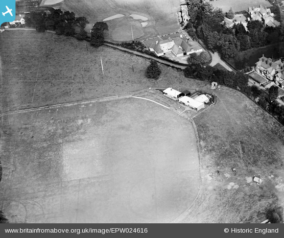
epw024616 ENGLAND (1928). Wolverhampton Cricket Club Ground and the South Staffordshire Golf Course Club House, Wolverhampton, 1928
© Copyright OpenStreetMap contributors and licensed by the OpenStreetMap Foundation. 2024. Cartography is licensed as CC BY-SA.
Details
| Title | [EPW024616] Wolverhampton Cricket Club Ground and the South Staffordshire Golf Course Club House, Wolverhampton, 1928 |
| Reference | EPW024616 |
| Date | September-1928 |
| Link | |
| Place name | WOLVERHAMPTON |
| Parish | |
| District | |
| Country | ENGLAND |
| Easting / Northing | 388518, 300599 |
| Longitude / Latitude | -2.169555506201, 52.60270144141 |
| National Grid Reference | SJ885006 |
Pins
 RFD W'ton |
Thursday 23rd of July 2015 11:37:07 PM |

