
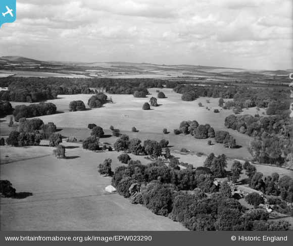
epw023290 ENGLAND (1928). Hurstbourne Park and environs, Hurstbourne Park, from the south-west, 1928
© Copyright OpenStreetMap contributors and licensed by the OpenStreetMap Foundation. 2024. Cartography is licensed as CC BY-SA.
Details
| Title | [EPW023290] Hurstbourne Park and environs, Hurstbourne Park, from the south-west, 1928 |
| Reference | EPW023290 |
| Date | September-1928 |
| Link | |
| Place name | HURSTBOURNE PARK |
| Parish | HURSTBOURNE PRIORS |
| District | |
| Country | ENGLAND |
| Easting / Northing | 443848, 147129 |
| Longitude / Latitude | -1.3720615051785, 51.221155226916 |
| National Grid Reference | SU438471 |
Pins
Be the first to add a comment to this image!