
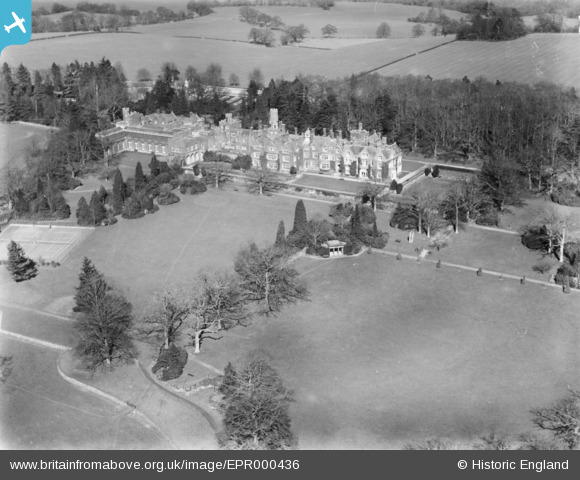
epr000436 ENGLAND (1935). Swaylands (The Cassel Hospital for Functional Nervous Disorders), Penshurst, 1935
© Copyright OpenStreetMap contributors and licensed by the OpenStreetMap Foundation. 2025. Cartography is licensed as CC BY-SA.
Details
| Title | [EPR000436] Swaylands (The Cassel Hospital for Functional Nervous Disorders), Penshurst, 1935 |
| Reference | EPR000436 |
| Date | 12-March-1935 |
| Link | |
| Place name | PENSHURST |
| Parish | PENSHURST |
| District | |
| Country | ENGLAND |
| Easting / Northing | 553376, 143008 |
| Longitude / Latitude | 0.19391342596987, 51.165204846166 |
| National Grid Reference | TQ534430 |
Pins
Be the first to add a comment to this image!