
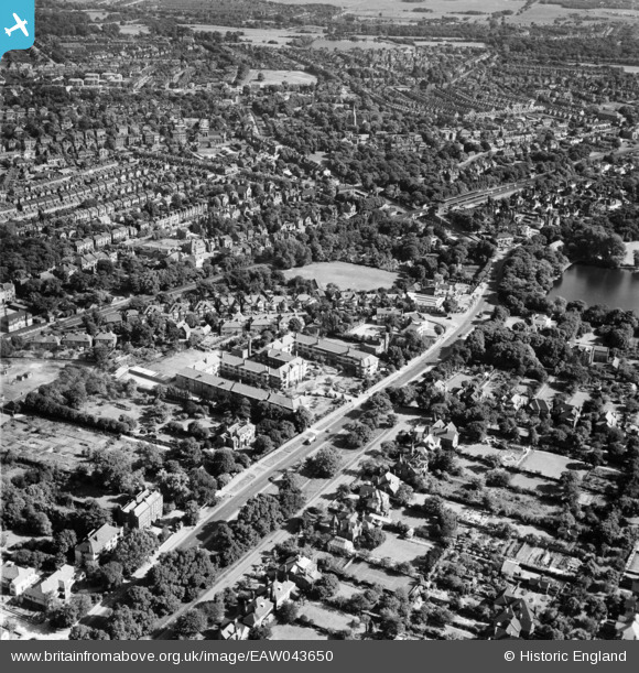
eaw043650 ENGLAND (1952). Hermitage Court, Woodford Road and environs, Snaresbrook, 1952
© Copyright OpenStreetMap contributors and licensed by the OpenStreetMap Foundation. 2024. Cartography is licensed as CC BY-SA.
Details
| Title | [EAW043650] Hermitage Court, Woodford Road and environs, Snaresbrook, 1952 |
| Reference | EAW043650 |
| Date | 4-June-1952 |
| Link | |
| Place name | SNARESBROOK |
| Parish | |
| District | |
| Country | ENGLAND |
| Easting / Northing | 540167, 189182 |
| Longitude / Latitude | 0.023318346878863, 51.583566843942 |
| National Grid Reference | TQ402892 |
Pins
 Uncle Ju |
Thursday 9th of January 2020 02:08:12 PM | |
Uncle Ju |
Thursday 9th of January 2020 02:06:53 PM | |
 8-2007.JPG) Keith |
Sunday 16th of November 2014 07:37:54 PM | |
Keith |
Sunday 16th of November 2014 07:36:43 PM | |
Keith |
Sunday 16th of November 2014 07:34:21 PM | |
Keith |
Sunday 16th of November 2014 07:33:44 PM |