
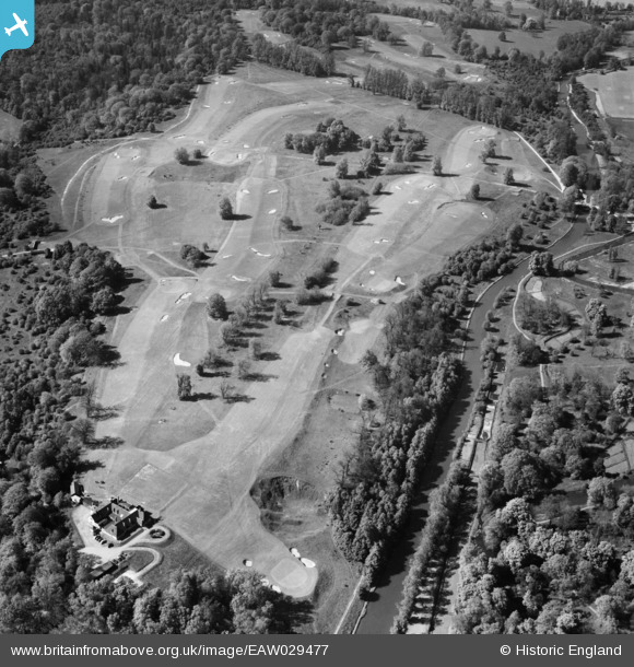
eaw029477 ENGLAND (1950). West Herts Golf Course, Jacotts Hill, 1950
© Copyright OpenStreetMap contributors and licensed by the OpenStreetMap Foundation. 2026. Cartography is licensed as CC BY-SA.
Details
| Title | [EAW029477] West Herts Golf Course, Jacotts Hill, 1950 |
| Reference | EAW029477 |
| Date | 12-May-1950 |
| Link | |
| Place name | JACOTTS HILL |
| Parish | |
| District | |
| Country | ENGLAND |
| Easting / Northing | 508647, 197008 |
| Longitude / Latitude | -0.42903616791107, 51.660874535482 |
| National Grid Reference | TQ086970 |
Pins
Be the first to add a comment to this image!