
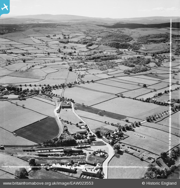
eaw023553 ENGLAND (1949). Grassington & Threshfield Railway Station looking towards Threshfield Limestone Quarries and beyond, Threshfield, from the east, 1949. This image was marked by Aerofilms Ltd for photo editing.
© Copyright OpenStreetMap contributors and licensed by the OpenStreetMap Foundation. 2024. Cartography is licensed as CC BY-SA.
Nearby Images (2)
EAW023553

EAW023552

Details
| Title | [EAW023553] Grassington & Threshfield Railway Station looking towards Threshfield Limestone Quarries and beyond, Threshfield, from the east, 1949. This image was marked by Aerofilms Ltd for photo editing. |
| Reference | EAW023553 |
| Date | 28-May-1949 |
| Link | |
| Place name | THRESHFIELD |
| Parish | THRESHFIELD |
| District | |
| Country | ENGLAND |
| Easting / Northing | 399335, 463871 |
| Longitude / Latitude | -2.0101631793274, 54.070590200239 |
| National Grid Reference | SD993639 |
Pins
 John W |
Saturday 14th of August 2021 07:23:09 PM | |
Mark P |
Sunday 3rd of December 2017 09:13:18 AM | |
markjtnet |
Wednesday 26th of April 2017 07:20:19 PM | |
markjtnet |
Wednesday 26th of April 2017 07:18:58 PM | |
John W |
Saturday 2nd of July 2016 06:20:59 PM | |
John W |
Saturday 2nd of July 2016 06:20:19 PM | |
John W |
Saturday 2nd of July 2016 06:17:06 PM | |
quarryman |
Sunday 21st of September 2014 07:49:51 PM | |
Linked Threshfield quarry to the Grassington branch. |
John W |
Saturday 2nd of July 2016 06:21:58 PM |
 sirdouglas |
Thursday 24th of July 2014 07:40:18 PM | |
sirdouglas |
Thursday 24th of July 2014 07:37:31 PM | |
sirdouglas |
Thursday 24th of July 2014 07:35:59 PM | |
sirdouglas |
Thursday 24th of July 2014 07:32:54 PM |


