
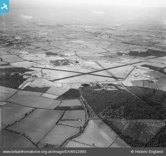
eaw012883 ENGLAND (1948). RAF Podington Airfield, Odell, from the south, 1948
© Copyright OpenStreetMap contributors and licensed by the OpenStreetMap Foundation. 2026. Cartography is licensed as CC BY-SA.
Details
| Title | [EAW012883] RAF Podington Airfield, Odell, from the south, 1948 |
| Reference | EAW012883 |
| Date | 19-January-1948 |
| Link | |
| Place name | ODELL |
| Parish | ODELL |
| District | |
| Country | ENGLAND |
| Easting / Northing | 495317, 258945 |
| Longitude / Latitude | -0.6045419080099, 52.220057727217 |
| National Grid Reference | SP953589 |
Pins
Be the first to add a comment to this image!