
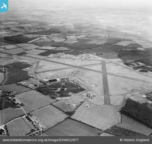
eaw012877 ENGLAND (1948). RAF Podington Airfield, Podington, from the west, 1948
© Copyright OpenStreetMap contributors and licensed by the OpenStreetMap Foundation. 2026. Cartography is licensed as CC BY-SA.
Details
| Title | [EAW012877] RAF Podington Airfield, Podington, from the west, 1948 |
| Reference | EAW012877 |
| Date | 19-January-1948 |
| Link | |
| Place name | PODINGTON |
| Parish | PODINGTON |
| District | |
| Country | ENGLAND |
| Easting / Northing | 494680, 260510 |
| Longitude / Latitude | -0.61342650631184, 52.234235008902 |
| National Grid Reference | SP947605 |
Pins

Norrie P |
Thursday 24th of July 2014 11:46:09 PM |