
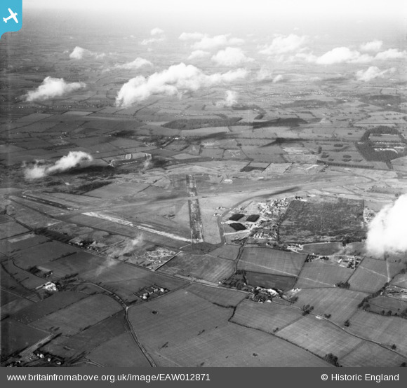
eaw012871 ENGLAND (1948). RAF Hethel Airfield, Hethel, from the south, 1948
© Copyright OpenStreetMap contributors and licensed by the OpenStreetMap Foundation. 2024. Cartography is licensed as CC BY-SA.
Details
| Title | [EAW012871] RAF Hethel Airfield, Hethel, from the south, 1948 |
| Reference | EAW012871 |
| Date | 19-January-1948 |
| Link | |
| Place name | HETHEL |
| Parish | BRACON ASH |
| District | |
| Country | ENGLAND |
| Easting / Northing | 615676, 299952 |
| Longitude / Latitude | 1.181817051126, 52.554239353266 |
| National Grid Reference | TM1571000 |
