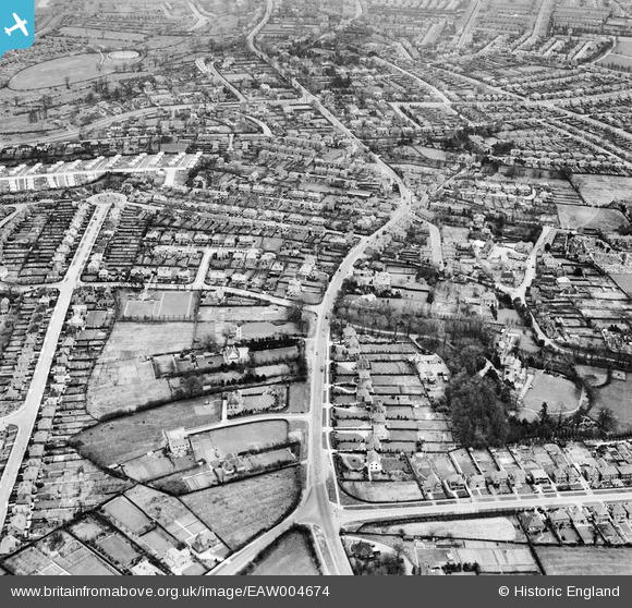
eaw004674 ENGLAND (1947). Burton Road and environs in Littleover, Derby, 1947
© Copyright OpenStreetMap contributors and licensed by the OpenStreetMap Foundation. 2024. Cartography is licensed as CC BY-SA.
Details
| Title | [EAW004674] Burton Road and environs in Littleover, Derby, 1947 |
| Reference | EAW004674 |
| Date | 22-April-1947 |
| Link | |
| Place name | DERBY |
| Parish | |
| District | |
| Country | ENGLAND |
| Easting / Northing | 433010, 334388 |
| Longitude / Latitude | -1.5091447492045, 52.90559183254 |
| National Grid Reference | SK330344 |
Pins
 BGP |
Wednesday 12th of November 2014 02:10:03 PM | |
 BGP |
Wednesday 12th of November 2014 02:09:16 PM | |
 Kevin |
Saturday 4th of January 2014 12:36:38 AM | |
 Kevin |
Saturday 4th of January 2014 12:34:56 AM | |
 Kevin |
Saturday 4th of January 2014 12:34:30 AM | |
 John Grant |
Monday 4th of November 2013 04:42:18 PM | |
 John Grant |
Monday 4th of November 2013 04:41:29 PM |

