
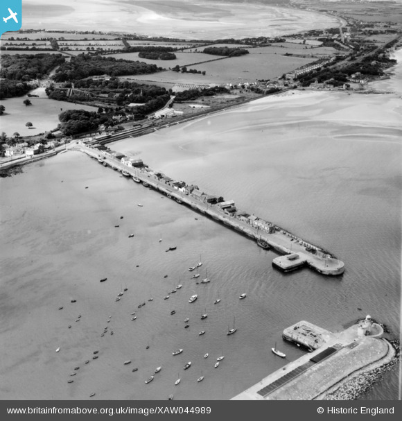
XAW044989 IRELAND (1952). Howth Harbour and Lighthouse, Howth, Dublin, Ireland, 1952. Oblique aerial photograph taken facing West.
© Copyright OpenStreetMap contributors and licensed by the OpenStreetMap Foundation. 2026. Cartography is licensed as CC BY-SA.
Details
| Title | [XAW044989] Howth Harbour and Lighthouse, Howth, Dublin, Ireland, 1952. Oblique aerial photograph taken facing West. |
| Reference | XAW044989 |
| Date | 1952 |
| Link | |
| Place name | HOWTH |
| Parish | IRELAND |
| District | |
| Country | IRELAND |
| Easting / Northing | 129613, 396079 |
| Longitude / Latitude | -6.068241, 53.392121 |
| National Grid Reference |
Pins

brimu |
Sunday 28th of June 2026 04:25:24 PM | |
|
brimu |
Monday 14th of November 2022 11:56:04 PM | |
|
Kieran Goddard |
Tuesday 1st of November 2016 09:43:08 PM |