
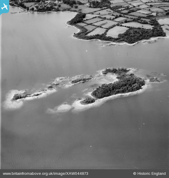
XAW044873 IRELAND (1952). Lough Derg Islands, Lough Derg, Clare, Ireland, 1952. Oblique aerial photograph taken facing North.
© Copyright OpenStreetMap contributors and licensed by the OpenStreetMap Foundation. 2026. Cartography is licensed as CC BY-SA.
Details
| Title | [XAW044873] Lough Derg Islands, Lough Derg, Clare, Ireland, 1952. Oblique aerial photograph taken facing North. |
| Reference | XAW044873 |
| Date | 1952 |
| Link | |
| Place name | LOUGH DERG |
| Parish | IRELAND |
| District | |
| Country | IRELAND |
| Easting / Northing | -31153, 355457 |
| Longitude / Latitude | -8.418026, 52.922778 |
| National Grid Reference |
Pins
Be the first to add a comment to this image!
User Comment Contributions
Cribby Islands. South east of Mountshannon. |

Aidan |
Saturday 8th of November 2014 11:47:12 PM |