
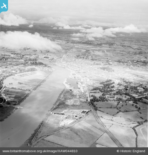
XAW044810 IRELAND (1952). General View, Limerick, Clare, Ireland, 1952. Oblique aerial photograph taken facing North/East.
© Copyright OpenStreetMap contributors and licensed by the OpenStreetMap Foundation. 2026. Cartography is licensed as CC BY-SA.
Details
| Title | [XAW044810] General View, Limerick, Clare, Ireland, 1952. Oblique aerial photograph taken facing North/East. |
| Reference | XAW044810 |
| Date | 21-July-1952 |
| Link | |
| Place name | LIMERICK |
| Parish | IRELAND |
| District | |
| Country | IRELAND |
| Easting / Northing | -48852, 327728 |
| Longitude / Latitude | -8.641534, 52.660719 |
| National Grid Reference |
Pins
Be the first to add a comment to this image!