
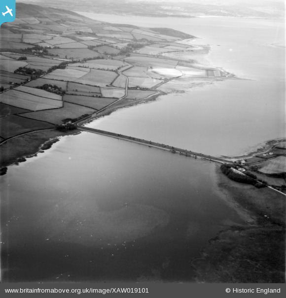
XAW019101 IRELAND (1948). Irish Road Site, Inch, Donegal, Ireland, 1948. Oblique aerial photograph taken facing North/West.
© Copyright OpenStreetMap contributors and licensed by the OpenStreetMap Foundation. 2025. Cartography is licensed as CC BY-SA.
Details
| Title | [XAW019101] Irish Road Site, Inch, Donegal, Ireland, 1948. Oblique aerial photograph taken facing North/West. |
| Reference | XAW019101 |
| Date | 25-September-1948 |
| Link | |
| Place name | INCH |
| Parish | IRELAND |
| District | |
| Country | IRELAND |
| Easting / Northing | 51612, 588152 |
| Longitude / Latitude | -7.459298, 55.065189 |
| National Grid Reference |
Pins
Be the first to add a comment to this image!