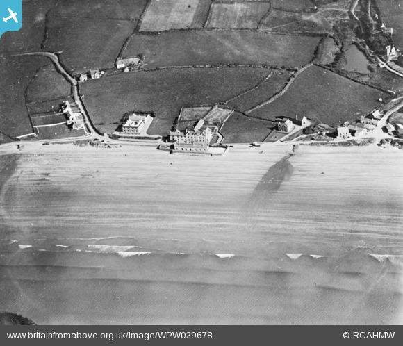
WPW029678 WALES (1929). View of Broad Haven. Oblique aerial photograph, 5"x4" BW glass plate.
© Copyright OpenStreetMap contributors and licensed by the OpenStreetMap Foundation. 2026. Cartography is licensed as CC BY-SA.
Details
| Title | [WPW029678] View of Broad Haven. Oblique aerial photograph, 5"x4" BW glass plate. |
| Reference | WPW029678 |
| Date | September-1929 |
| Link | Coflein Archive Item 6423188 |
| Place name | |
| Parish | |
| District | |
| Country | WALES |
| Easting / Northing | 186000, 213000 |
| Longitude / Latitude | -5.1023106176407, 51.774239938774 |
| National Grid Reference | SM860130 |
Pins

Martyn61Roberts |
Monday 2nd of May 2022 08:07:32 PM |

