
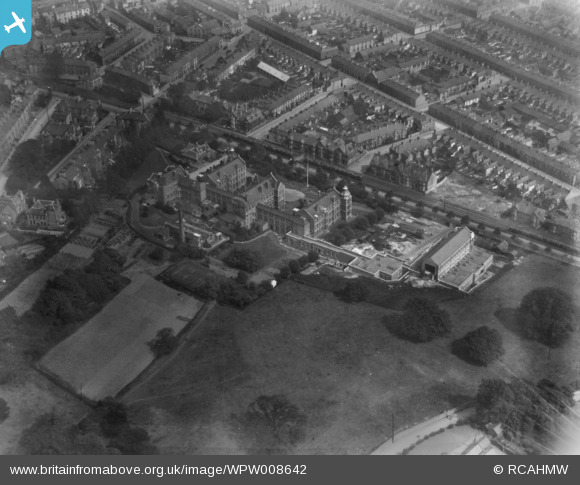
WPW008642 WALES (1923). View of Cardiff showing Royal Infirmary, oblique aerial view. 5"x4" black and white glass plate negative.
© Copyright OpenStreetMap contributors and licensed by the OpenStreetMap Foundation. 2026. Cartography is licensed as CC BY-SA.
Nearby Images (48)
WPW001000

WPW001001

WPW001002

WPW001003

WPW001004

WPW001008

WPW001009

WPW001010

WPW001014

WPW001035

WPW016914

WPW016915

WPW016916

WPW016917

WPW016918

WPW016919

WPW016920

WPW029422

WPW029423

WPW029424

WPW029425

WPW029427

WPW029429

WPW041787

WPW041788

WPW041789

WPW041790

WPW041791

WPW041792

WPW041793

WPW041794

WPW041795

WPW052624

WPW052659

WPW052660

WPW052661

WPW052662

WPW052663

WPW052664

WPW054861

WPW054863

WPW054864

WPW054865

WPW055450

WPW055451

WPW055452

WPW055453

WPW055454

Details
| Title | [WPW008642] View of Cardiff showing Royal Infirmary, oblique aerial view. 5"x4" black and white glass plate negative. |
| Reference | WPW008642 |
| Date | 1923 |
| Link | Coflein Archive Item 6370382 |
| Place name | |
| Parish | |
| District | |
| Country | WALES |
| Easting / Northing | 318170, 176360 |
| Longitude / Latitude | -3.1785006478589, 51.479784917149 |
| National Grid Reference | ST182764 |
Pins

Mike Davies |
Friday 26th of June 2026 06:54:10 PM | |
|
king of bayhead |
Friday 29th of May 2026 06:13:27 PM |
User Comment Contributions
This cannot be the Royal Infirmary Cardiff as the surrounding development is not right, as it stands on Newport Road, this being the main route through Cardiff. See Google Earth. |
Cardiffian |
Tuesday 8th of October 2013 06:05:24 PM |