
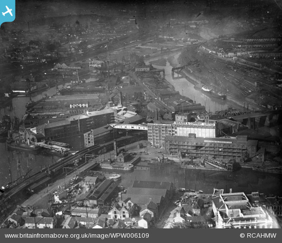
WPW006109 WALES (1921). View of Weaver's Flour Mill, Swansea, oblique aerial view. 5"x4" black and white glass plate negative.
© Copyright OpenStreetMap contributors and licensed by the OpenStreetMap Foundation. 2026. Cartography is licensed as CC BY-SA.
Details
| Title | [WPW006109] View of Weaver's Flour Mill, Swansea, oblique aerial view. 5"x4" black and white glass plate negative. |
| Reference | WPW006109 |
| Date | 1921 |
| Link | Coflein Archive Item 6370322 |
| Place name | |
| Parish | |
| District | |
| Country | WALES |
| Easting / Northing | 266070, 193096 |
| Longitude / Latitude | -3.9348383500868, 51.620259853337 |
| National Grid Reference | SS661931 |


