
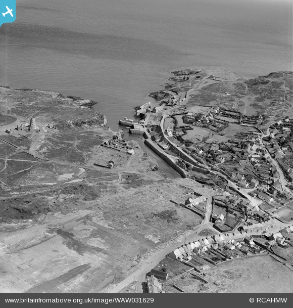
WAW031629 WALES (1950). View of Amlwch showing port
© Copyright OpenStreetMap contributors and licensed by the OpenStreetMap Foundation. 2026. Cartography is licensed as CC BY-SA.
Details
| Title | [WAW031629] View of Amlwch showing port |
| Reference | WAW031629 |
| Date | 1950 |
| Link | Coflein Archive Item 6414316 |
| Place name | |
| Parish | |
| District | |
| Country | WALES |
| Easting / Northing | 244134, 392935 |
| Longitude / Latitude | -4.3452152618039, 53.409910858152 |
| National Grid Reference | SH441929 |
Pins

Waldemar |
Wednesday 17th of September 2025 10:03:39 AM | |
|
Waldemar |
Wednesday 17th of September 2025 10:03:26 AM | |
|
Waldemar |
Wednesday 17th of September 2025 09:59:43 AM | |
|
Brick Collector |
Sunday 11th of October 2015 08:12:27 PM |