
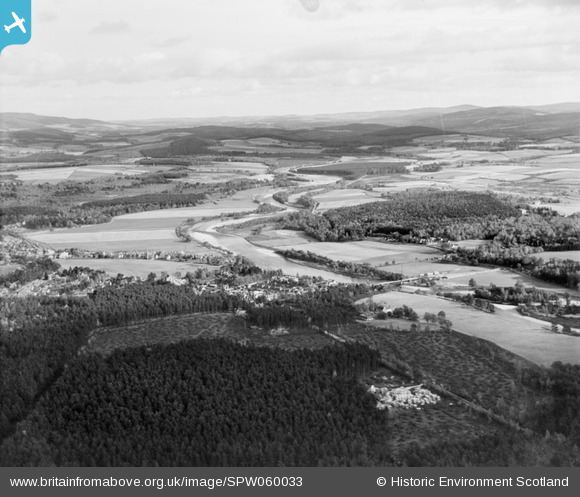
SPW060033 SCOTLAND (1938). Aboyne, general view, showing Knappy Park and River Dee. An oblique aerial photograph taken facing east.
© Copyright OpenStreetMap contributors and licensed by the OpenStreetMap Foundation. 2026. Cartography is licensed as CC BY-SA.
Details
| Title | [SPW060033] Aboyne, general view, showing Knappy Park and River Dee. An oblique aerial photograph taken facing east. |
| Reference | SPW060033 |
| Date | 1938 |
| Link | NRHE Collection item 1258271 |
| Place name | |
| Parish | BIRSE |
| District | KINCARDINE AND DEESIDE |
| Country | SCOTLAND |
| Easting / Northing | 353510, 797980 |
| Longitude / Latitude | -2.7668321437744, 57.070675872451 |
| National Grid Reference | NO535980 |
Pins
Be the first to add a comment to this image!