
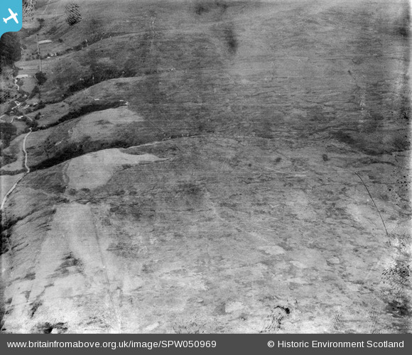
SPW050969 SCOTLAND (1936). Glenapp Estate, general view, showing Haggstone Moor and Low Mark. An oblique aerial photograph taken facing north-east.
© Copyright OpenStreetMap contributors and licensed by the OpenStreetMap Foundation. 2025. Cartography is licensed as CC BY-SA.
Details
| Title | [SPW050969] Glenapp Estate, general view, showing Haggstone Moor and Low Mark. An oblique aerial photograph taken facing north-east. |
| Reference | SPW050969 |
| Date | 1936 |
| Link | NRHE Collection item 1258036 |
| Place name | |
| Parish | BALLANTRAE (KYLE AND CARRICK) |
| District | KYLE AND CARRICK |
| Country | SCOTLAND |
| Easting / Northing | 207600, 573300 |
| Longitude / Latitude | -5.0097584826829, 55.016899910065 |
| National Grid Reference | NX076733 |
