
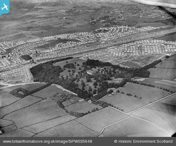
SPW035648 SCOTLAND (1931). King's Park and Croftfoot Housing Estates and King's Park, Glasgow. An oblique aerial photograph taken facing north-east.
© Copyright OpenStreetMap contributors and licensed by the OpenStreetMap Foundation. 2025. Cartography is licensed as CC BY-SA.
Details
| Title | [SPW035648] King's Park and Croftfoot Housing Estates and King's Park, Glasgow. An oblique aerial photograph taken facing north-east. |
| Reference | SPW035648 |
| Date | 1931 |
| Link | Canmore Collection item 1259436 |
| Place name | |
| Parish | CATHCART (CITY OF GLASGOW) |
| District | CITY OF GLASGOW |
| Country | SCOTLAND |
| Easting / Northing | 259640, 660269 |
| Longitude / Latitude | -4.240275018692, 55.815274476397 |
| National Grid Reference | NS596603 |
Pins
 AnthonyN8 |
Sunday 21st of November 2021 10:13:39 PM | |
olddobson |
Friday 13th of September 2013 10:22:13 AM | |
BobbyS |
Friday 3rd of May 2013 08:23:32 PM | |
BobbyS |
Friday 3rd of May 2013 08:21:52 PM | |
BobbyS |
Friday 3rd of May 2013 08:19:58 PM | |
BobbyS |
Friday 3rd of May 2013 08:18:31 PM |