
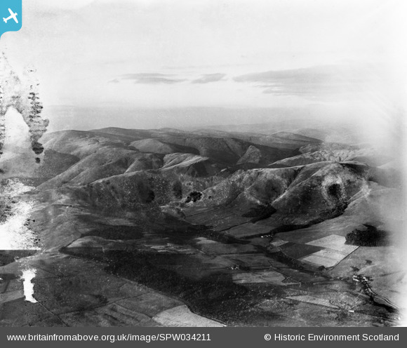
SPW034211 SCOTLAND (1930). Lowther Hills, general view, showing Steygail and Black Hill. An oblique aerial photograph taken facing north-east.
© Copyright OpenStreetMap contributors and licensed by the OpenStreetMap Foundation. 2025. Cartography is licensed as CC BY-SA.
Details
| Title | [SPW034211] Lowther Hills, general view, showing Steygail and Black Hill. An oblique aerial photograph taken facing north-east. |
| Reference | SPW034211 |
| Date | 1930 |
| Link | NRHE Collection item 1259416 |
| Place name | |
| Parish | DURISDEER |
| District | NITHSDALE |
| Country | SCOTLAND |
| Easting / Northing | 288416, 607026 |
| Longitude / Latitude | -3.7597347929443, 55.344548176902 |
| National Grid Reference | NS884070 |
Pins
Be the first to add a comment to this image!