
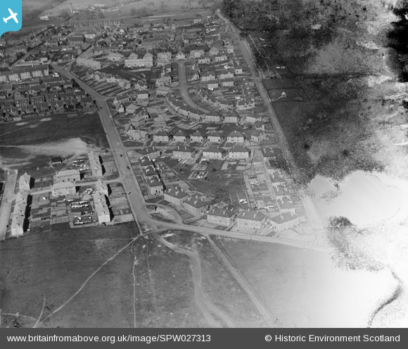
SPW027313 SCOTLAND (1929). Lochgelly, general view, showing South Street and Paul Street. An oblique aerial photograph taken facing east. This image has been produced from a damaged negative.
© Copyright OpenStreetMap contributors and licensed by the OpenStreetMap Foundation. 2025. Cartography is licensed as CC BY-SA.
Details
| Title | [SPW027313] Lochgelly, general view, showing South Street and Paul Street. An oblique aerial photograph taken facing east. This image has been produced from a damaged negative. |
| Reference | SPW027313 |
| Date | 1929 |
| Link | NRHE Collection item 1256849 |
| Place name | |
| Parish | AUCHTERDERRAN |
| District | KIRKCALDY |
| Country | SCOTLAND |
| Easting / Northing | 318398, 692903 |
| Longitude / Latitude | -3.3127056863732, 56.121944244724 |
| National Grid Reference | NT184929 |
Pins
Be the first to add a comment to this image!