
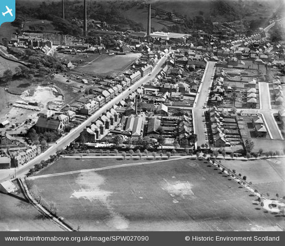
SPW027090 SCOTLAND (1929). Penicuik, general view, showing John Street and Wilson Street. An oblique aerial photograph taken facing south.
© Copyright OpenStreetMap contributors and licensed by the OpenStreetMap Foundation. 2025. Cartography is licensed as CC BY-SA.
Details
| Title | [SPW027090] Penicuik, general view, showing John Street and Wilson Street. An oblique aerial photograph taken facing south. |
| Reference | SPW027090 |
| Date | 1929 |
| Link | NRHE Collection item 1256609 |
| Place name | |
| Parish | PENICUIK (MIDLOTHIAN) |
| District | MIDLOTHIAN |
| Country | SCOTLAND |
| Easting / Northing | 323467, 660210 |
| Longitude / Latitude | -3.2218893173652, 55.829078816903 |
| National Grid Reference | NT235602 |
Pins
Be the first to add a comment to this image!