
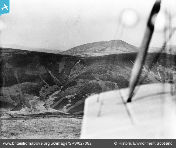
SPW027082 SCOTLAND (1929). Glenwhappen Rig and Culter Fell, Peeblesshire. An oblique aerial photograph taken facing north.
© Copyright OpenStreetMap contributors and licensed by the OpenStreetMap Foundation. 2026. Cartography is licensed as CC BY-SA.
Details
| Title | [SPW027082] Glenwhappen Rig and Culter Fell, Peeblesshire. An oblique aerial photograph taken facing north. |
| Reference | SPW027082 |
| Date | 1929 |
| Link | NRHE Collection item 1259334 |
| Place name | |
| Parish | DRUMELZIER |
| District | TWEEDDALE |
| Country | SCOTLAND |
| Easting / Northing | 306911, 625165 |
| Longitude / Latitude | -3.4742376195464, 55.511352929373 |
| National Grid Reference | NT069252 |
Pins

Mike Holder |
Tuesday 13th of February 2018 08:11:35 PM | |
|
Mike Holder |
Tuesday 13th of February 2018 08:09:30 PM | |
|
Mike Holder |
Tuesday 13th of February 2018 08:07:14 PM | |
|
Mike Holder |
Tuesday 13th of February 2018 08:06:30 PM | |
|
Mike Holder |
Tuesday 13th of February 2018 08:05:54 PM | |
|
Mike Holder |
Tuesday 13th of February 2018 08:05:06 PM |