
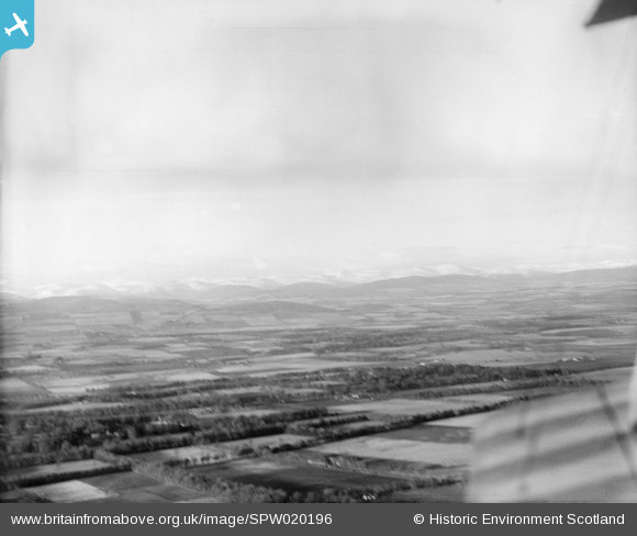
SPW020196 SCOTLAND (1927). Craigton and Braes of Angus, general view. An oblique aerial photograph taken facing north.
© Copyright OpenStreetMap contributors and licensed by the OpenStreetMap Foundation. 2026. Cartography is licensed as CC BY-SA.
Details
| Title | [SPW020196] Craigton and Braes of Angus, general view. An oblique aerial photograph taken facing north. |
| Reference | SPW020196 |
| Date | 1927 |
| Link | NRHE Collection item 1269672 |
| Place name | |
| Parish | AIRLIE |
| District | ANGUS |
| Country | SCOTLAND |
| Easting / Northing | 331840, 749320 |
| Longitude / Latitude | -3.1111731845067, 56.630876166349 |
| National Grid Reference | NO318493 |
Pins
Be the first to add a comment to this image!