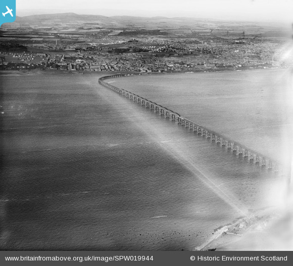
SPW019944 SCOTLAND (1927). Dundee, general view, showing Tay Road Bridge. An oblique aerial photograph taken facing north.
© Copyright OpenStreetMap contributors and licensed by the OpenStreetMap Foundation. 2025. Cartography is licensed as CC BY-SA.
Details
| Title | [SPW019944] Dundee, general view, showing Tay Road Bridge. An oblique aerial photograph taken facing north. |
| Reference | SPW019944 |
| Date | 1927 |
| Link | NRHE Collection item 1246347 |
| Place name | |
| Parish | DUNDEE (DUNDEE, CITY OF) |
| District | CITY OF DUNDEE |
| Country | SCOTLAND |
| Easting / Northing | 341564, 729456 |
| Longitude / Latitude | -2.9482042903666, 56.453737630826 |
| National Grid Reference | NO416295 |
Pins

chiffchaffbirdy |
Sunday 27th of November 2016 08:54:59 PM | |

chiffchaffbirdy |
Sunday 27th of November 2016 08:53:56 PM |

