
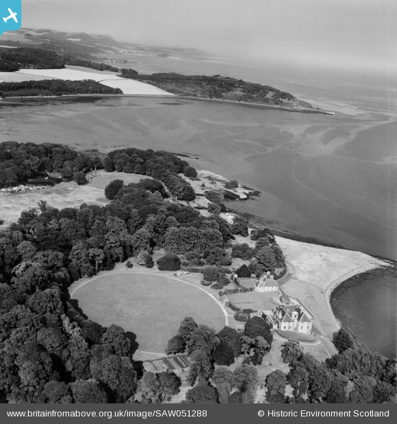
SAW051288 SCOTLAND (1953). Donibristle House and Dalgety Bay. An oblique aerial photograph taken facing east.
© Copyright OpenStreetMap contributors and licensed by the OpenStreetMap Foundation. 2026. Cartography is licensed as CC BY-SA.
Details
| Title | [SAW051288] Donibristle House and Dalgety Bay. An oblique aerial photograph taken facing east. |
| Reference | SAW051288 |
| Date | 1953 |
| Link | NRHE Collection item 1297949 |
| Place name | |
| Parish | DALGETY |
| District | DUNFERMLINE |
| Country | SCOTLAND |
| Easting / Northing | 316390, 683040 |
| Longitude / Latitude | -3.3419147358079, 56.03299591661 |
| National Grid Reference | NT164830 |
Pins

Chris Kolonko |
Friday 15th of September 2017 10:27:36 PM |