
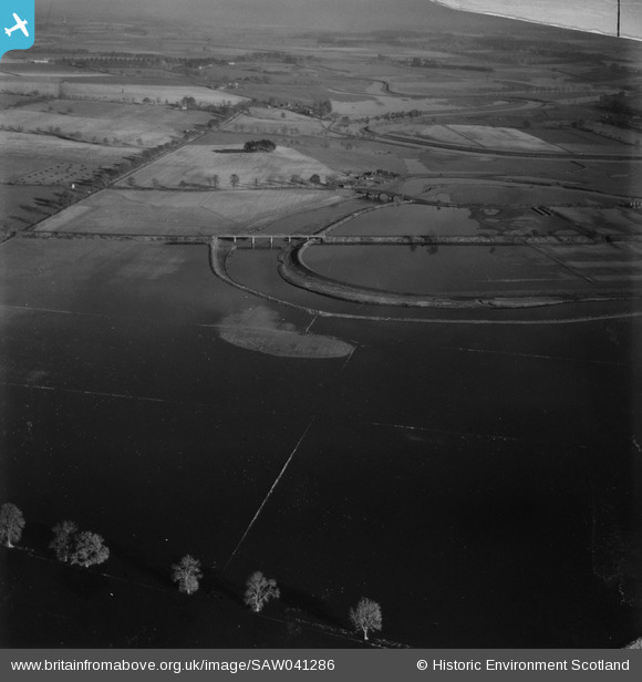
SAW041286 SCOTLAND (1951). River Isla, Coupar Angus. Flood. An oblique aerial photograph taken facing north-east. This image has been produced from a damaged print.
© Copyright OpenStreetMap contributors and licensed by the OpenStreetMap Foundation. 2026. Cartography is licensed as CC BY-SA.
Details
| Title | [SAW041286] River Isla, Coupar Angus. Flood. An oblique aerial photograph taken facing north-east. This image has been produced from a damaged print. |
| Reference | SAW041286 |
| Date | 1951 |
| Link | NRHE Collection item 1315342 |
| Place name | |
| Parish | BENDOCHY |
| District | PERTH AND KINROSS |
| Country | SCOTLAND |
| Easting / Northing | 321079, 740783 |
| Longitude / Latitude | -3.2839538798454, 56.552502075872 |
| National Grid Reference | NO211408 |
Pins
Be the first to add a comment to this image!