
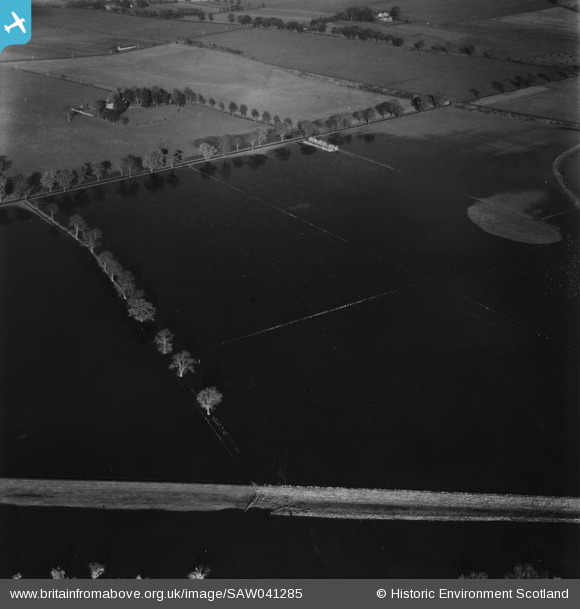
SAW041285 SCOTLAND (1951). River Isla, Coupar Angus. Flood. An oblique aerial photograph taken facing north. This image has been produced from a print.
© Copyright OpenStreetMap contributors and licensed by the OpenStreetMap Foundation. 2026. Cartography is licensed as CC BY-SA.
Details
| Title | [SAW041285] River Isla, Coupar Angus. Flood. An oblique aerial photograph taken facing north. This image has been produced from a print. |
| Reference | SAW041285 |
| Date | 1951 |
| Link | NRHE Collection item 1315341 |
| Place name | |
| Parish | BENDOCHY |
| District | PERTH AND KINROSS |
| Country | SCOTLAND |
| Easting / Northing | 320181, 740958 |
| Longitude / Latitude | -3.2986129222181, 56.553922326673 |
| National Grid Reference | NO202410 |
Pins
Be the first to add a comment to this image!