
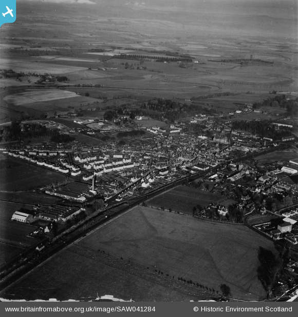
SAW041284 SCOTLAND (1951). Coupar Angus, general view, showing George Street and Bogside Road. An oblique aerial photograph taken facing north. This image has been produced from a damaged print.
© Copyright OpenStreetMap contributors and licensed by the OpenStreetMap Foundation. 2026. Cartography is licensed as CC BY-SA.
Details
| Title | [SAW041284] Coupar Angus, general view, showing George Street and Bogside Road. An oblique aerial photograph taken facing north. This image has been produced from a damaged print. |
| Reference | SAW041284 |
| Date | 1951 |
| Link | NRHE Collection item 1315340 |
| Place name | |
| Parish | COUPAR ANGUS |
| District | PERTH AND KINROSS |
| Country | SCOTLAND |
| Easting / Northing | 322030, 740060 |
| Longitude / Latitude | -3.2682693037648, 56.546166345072 |
| National Grid Reference | NO220401 |
Pins
Be the first to add a comment to this image!