
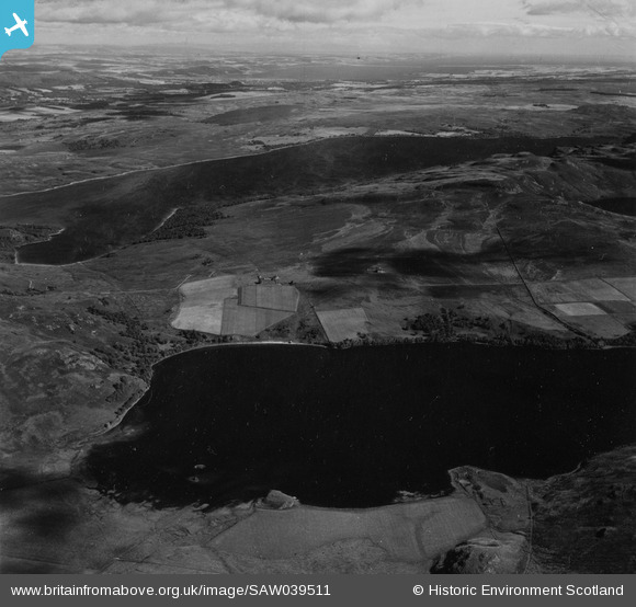
SAW039511 SCOTLAND (1951). Loch Ruthven and Loch Duntelchaig. An oblique aerial photograph taken facing north. This image has been produced from a print.
© Copyright OpenStreetMap contributors and licensed by the OpenStreetMap Foundation. 2025. Cartography is licensed as CC BY-SA.
Details
| Title | [SAW039511] Loch Ruthven and Loch Duntelchaig. An oblique aerial photograph taken facing north. This image has been produced from a print. |
| Reference | SAW039511 |
| Date | 1951 |
| Link | Canmore Collection item 1315310 |
| Place name | |
| Parish | DAVIOT AND DUNLICHITY |
| District | INVERNESS |
| Country | SCOTLAND |
| Easting / Northing | 260900, 828700 |
| Longitude / Latitude | -4.3106267217127, 57.32779468885 |
| National Grid Reference | NH609287 |
Pins
Be the first to add a comment to this image!