
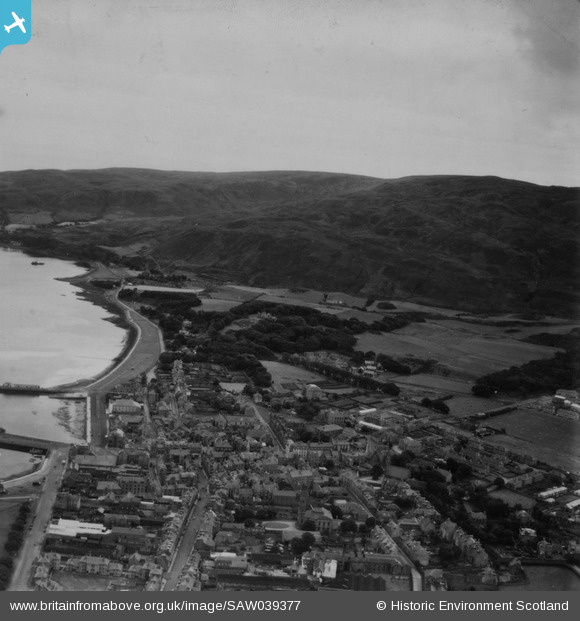
SAW039377 SCOTLAND (1951). Campbeltown, general view, showing Kilkerran Road and Beinn Ghuilean. An oblique aerial photograph taken facing south-east. This image has been produced from a print.
© Copyright OpenStreetMap contributors and licensed by the OpenStreetMap Foundation. 2025. Cartography is licensed as CC BY-SA.
Details
| Title | [SAW039377] Campbeltown, general view, showing Kilkerran Road and Beinn Ghuilean. An oblique aerial photograph taken facing south-east. This image has been produced from a print. |
| Reference | SAW039377 |
| Date | 1951 |
| Link | Canmore Collection item 1315296 |
| Place name | |
| Parish | CAMPBELTOWN |
| District | ARGYLL AND BUTE |
| Country | SCOTLAND |
| Easting / Northing | 172440, 619250 |
| Longitude / Latitude | -5.5956853649922, 55.414212573732 |
| National Grid Reference | NR724193 |
Pins
Be the first to add a comment to this image!