
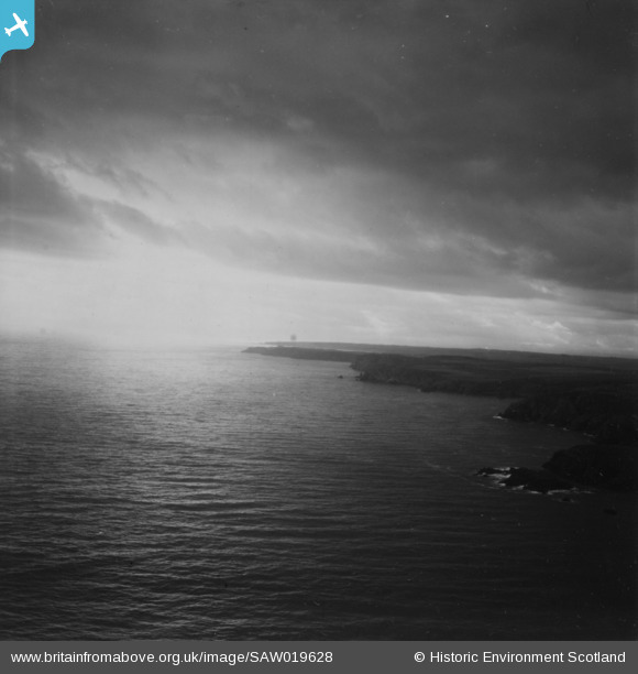
SAW019628 SCOTLAND (1948). Unlocated coastline, possibly near Port Erroll. An oblique aerial photograph. This image has been produced from a print.
© Copyright OpenStreetMap contributors and licensed by the OpenStreetMap Foundation. 2025. Cartography is licensed as CC BY-SA.
Details
| Title | [SAW019628] Unlocated coastline, possibly near Port Erroll. An oblique aerial photograph. This image has been produced from a print. |
| Reference | SAW019628 |
| Date | 1948 |
| Link | NRHE Collection item 1315003 |
| Place name | |
| Parish | MARITIME - ABERDEENSHIRE |
| District | MARITIME |
| Country | SCOTLAND |
| Easting / Northing | 413200, 841200 |
| Longitude / Latitude | -1.7799584415768, 57.461114654708 |
| National Grid Reference | NK132412 |
Pins
Be the first to add a comment to this image!