
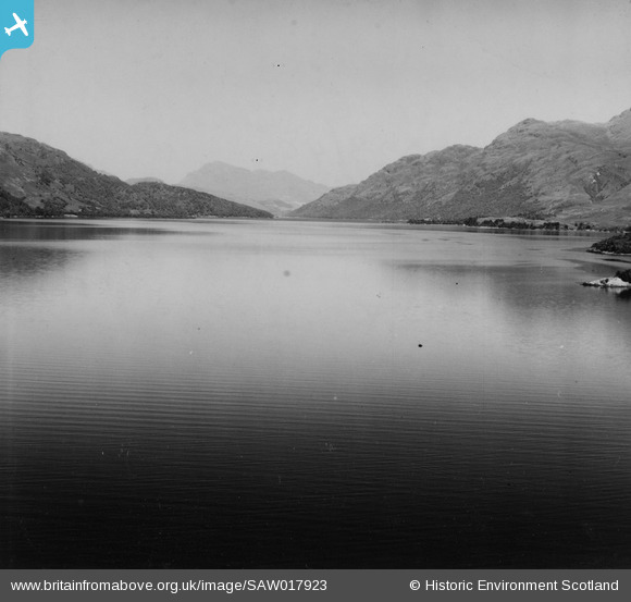
SAW017923 SCOTLAND (1948). Loch Lomond, general view, showing Rubha Mor and Ben Lomond. An oblique aerial photograph taken facing north. This image has been produced from a print.
© Copyright OpenStreetMap contributors and licensed by the OpenStreetMap Foundation. 2025. Cartography is licensed as CC BY-SA.
Details
| Title | [SAW017923] Loch Lomond, general view, showing Rubha Mor and Ben Lomond. An oblique aerial photograph taken facing north. This image has been produced from a print. |
| Reference | SAW017923 |
| Date | 1948 |
| Link | NRHE Collection item 1314851 |
| Place name | |
| Parish | BUCHANAN |
| District | STIRLING |
| Country | SCOTLAND |
| Easting / Northing | 236110, 696550 |
| Longitude / Latitude | -4.6375053560954, 56.133536095421 |
| National Grid Reference | NS361966 |
Pins
Be the first to add a comment to this image!