
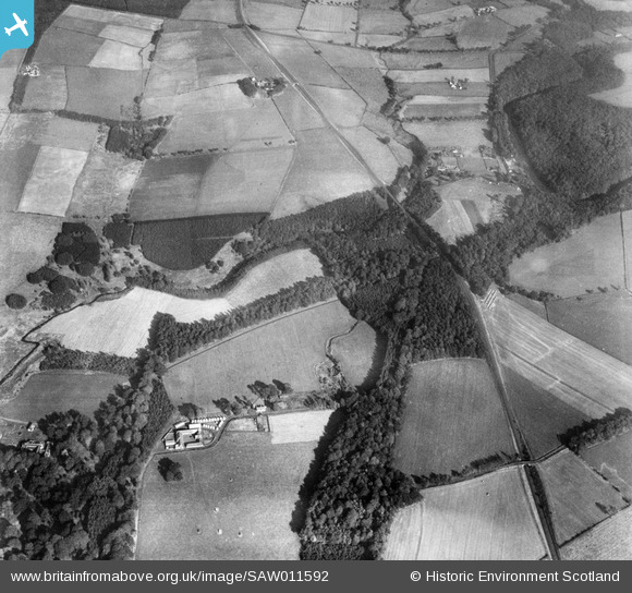
SAW011592 SCOTLAND (1947). Dead-men's Holm and Coilsfield Mains, Tarbolton. An oblique aerial photograph taken facing east.
© Copyright OpenStreetMap contributors and licensed by the OpenStreetMap Foundation. 2026. Cartography is licensed as CC BY-SA.
Details
| Title | [SAW011592] Dead-men's Holm and Coilsfield Mains, Tarbolton. An oblique aerial photograph taken facing east. |
| Reference | SAW011592 |
| Date | 1947 |
| Link | NRHE Collection item 1268810 |
| Place name | |
| Parish | TARBOLTON |
| District | KYLE AND CARRICK |
| Country | SCOTLAND |
| Easting / Northing | 245625, 626266 |
| Longitude / Latitude | -4.4446355174001, 55.505720184106 |
| National Grid Reference | NS456263 |
Pins
Be the first to add a comment to this image!