
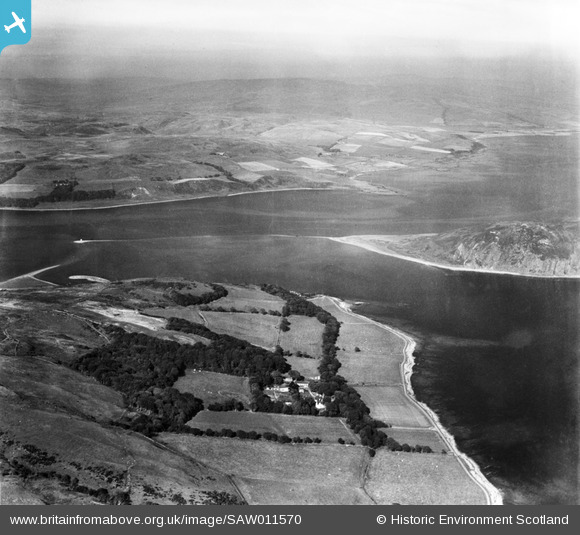
SAW011570 SCOTLAND (1947). Kildalloig House and Island Davaar. An oblique aerial photograph taken facing north.
© Copyright OpenStreetMap contributors and licensed by the OpenStreetMap Foundation. 2025. Cartography is licensed as CC BY-SA.
Details
| Title | [SAW011570] Kildalloig House and Island Davaar. An oblique aerial photograph taken facing north. |
| Reference | SAW011570 |
| Date | 1947 |
| Link | Canmore Collection item 1268788 |
| Place name | |
| Parish | CAMPBELTOWN |
| District | ARGYLL AND BUTE |
| Country | SCOTLAND |
| Easting / Northing | 175000, 620000 |
| Longitude / Latitude | -5.5559273397551, 55.422120726799 |
| National Grid Reference | NR750200 |
Pins
Be the first to add a comment to this image!