
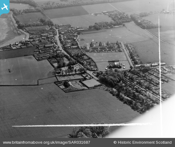
SAR031687 SCOTLAND (1958). General View Aberlady, East Lothian, Scotland. An oblique aerial photograph taken facing North/East. This image was marked by AeroPictorial Ltd for photo editing.
© Copyright OpenStreetMap contributors and licensed by the OpenStreetMap Foundation. 2026. Cartography is licensed as CC BY-SA.
Details
| Title | [SAR031687] General View Aberlady, East Lothian, Scotland. An oblique aerial photograph taken facing North/East. This image was marked by AeroPictorial Ltd for photo editing. |
| Reference | SAR031687 |
| Date | 1958 |
| Link | NRHE Collection item 1438577 |
| Place name | |
| Parish | ABERLADY |
| District | EAST LOTHIAN |
| Country | SCOTLAND |
| Easting / Northing | 346600, 679940 |
| Longitude / Latitude | -2.8565150772042, 56.009463628758 |
| National Grid Reference | NT466799 |
