
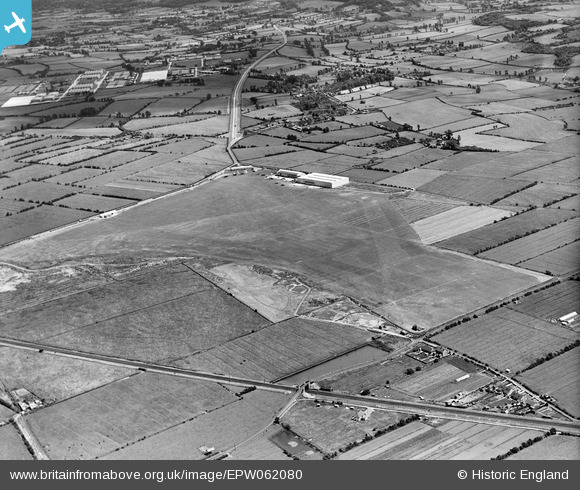
EPW062080 ENGLAND (1939). Weston-Super-Mare Aerodrome, Weston-Super-Mare, 1939
© Copyright OpenStreetMap contributors and licensed by the OpenStreetMap Foundation. 2026. Cartography is licensed as CC BY-SA.
Details
| Title | [EPW062080] Weston-Super-Mare Aerodrome, Weston-Super-Mare, 1939 |
| Reference | EPW062080 |
| Date | 30-June-1939 |
| Link | |
| Place name | WESTON-SUPER-MARE |
| Parish | WESTON-SUPER-MARE |
| District | |
| Country | ENGLAND |
| Easting / Northing | 334861, 160545 |
| Longitude / Latitude | -2.9352530356638, 51.339754318008 |
| National Grid Reference | ST349605 |
Pins

Matt Aldred edob.mattaldred.com |
Friday 30th of May 2025 07:42:11 PM | |

GaryB |
Friday 1st of November 2024 03:38:45 PM | |

Class31 |
Tuesday 4th of February 2014 11:41:46 AM |